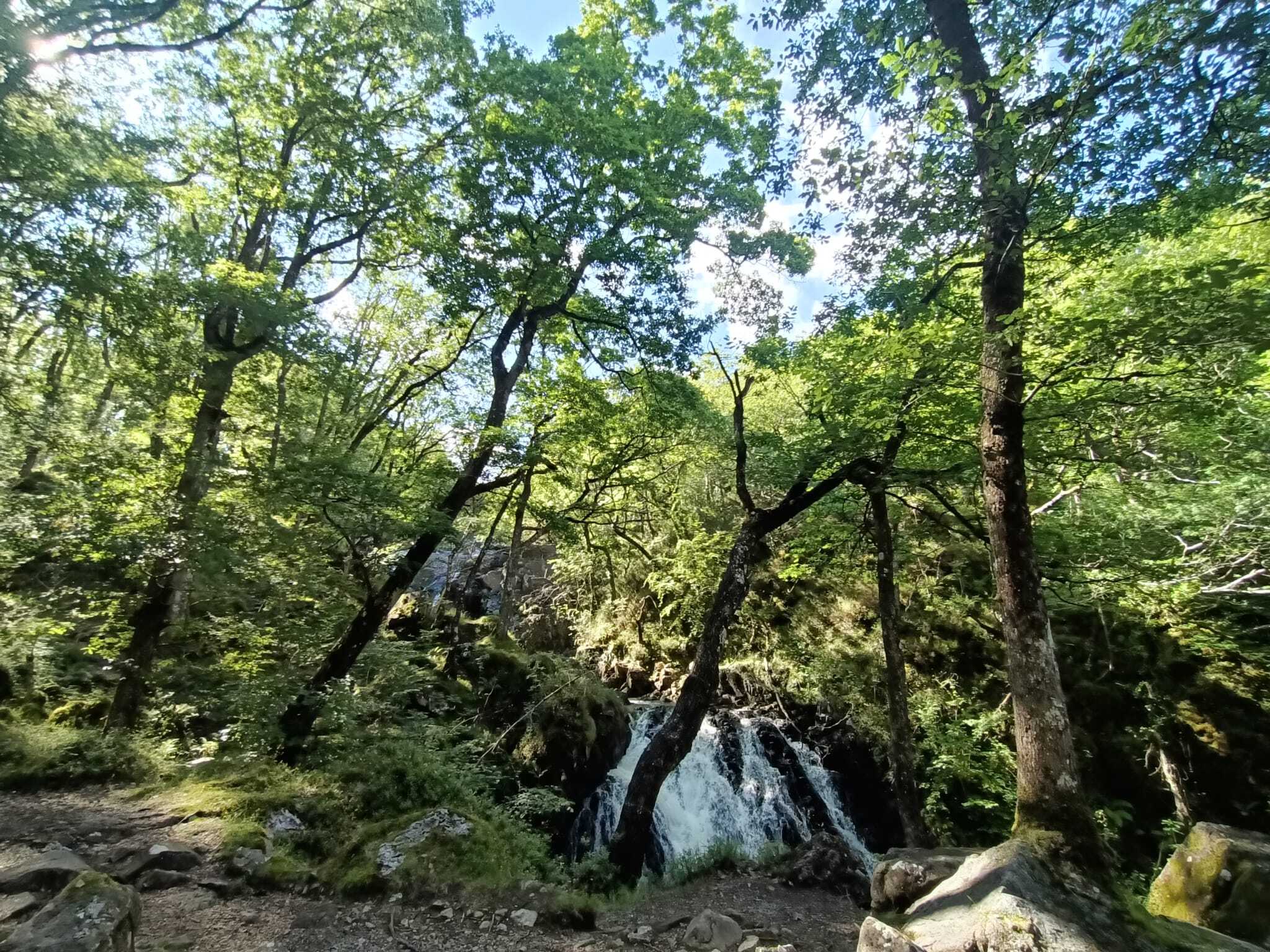
The United Nations International Day of Forests 2024
Each year, the International Day of Forests has a specific theme, and this year the theme is "Forests and Innovation: New Solutions for a Better World".
"Innovation and technology have revolutionized forest monitoring, enabling countries to track and report on their forests more effectively." International Day of Forests
Read on to find out more about the ways that innovation has helped us here at the Celtic Rainforests Project...
Site Nitrogen Action Plans (SNAPs)
Innovation has led to improvements in how we report on the health status of our Celtic Rainforests
At the start of the Celtic Rainforests project, we commissioned Site Nitrogen Action Plans (SNAPs), to Identify local, regional and sources of general atmospheric nitrogen from further afield, which are adversely impacting the ecological condition of temperate rainforests in Wales. These plans, following the DEFRA draft framework, are mechanisms to benchmark the levels of Nitrogen on any given site, in this case the 5 Special Areas of Conservation that forms the basis of our project area.
Although tackling wider atmospheric Nitrogen comes down to larger scale changes such as lessening fossil fuel use, local Nitrogen sources; such as from water treatment facilities, local industry and agriculture; can be addresses by implementing proactive actions. By collecting information from various agencies, the authors identified potential local nitrogen sources, note their causes, and suggest mitigative actions to implement, to reduce the local threat posed to these special habitats.
Drone use for Surveying
Another way we’ve used innovation within the project is by using Drones – Remotely Piloted Air System (RPAS) - to carry out Rhododendron ponticum surveys on specific sites within the project.
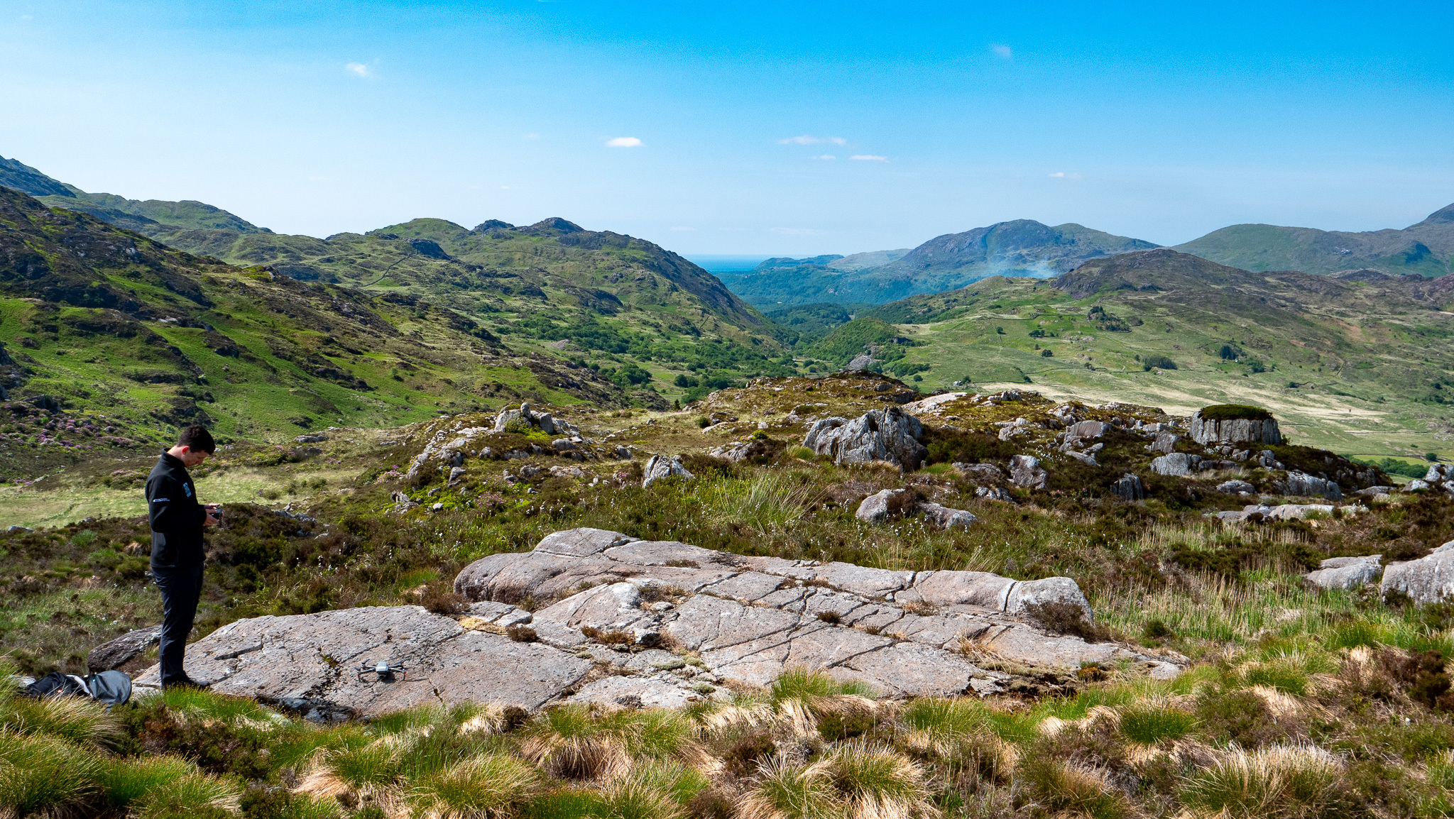
Drones are usually small to medium sized machines that can either be pre-programmed or flown through remote commands from a pilot. Our Drone is flown using a handheld controller (much like a games console controller) that has a built in screen. The pilot must be able to see the Drone at all times and adhere to the UK Civil Aviation Authority’s “Drone and Model Aircraft Code”.
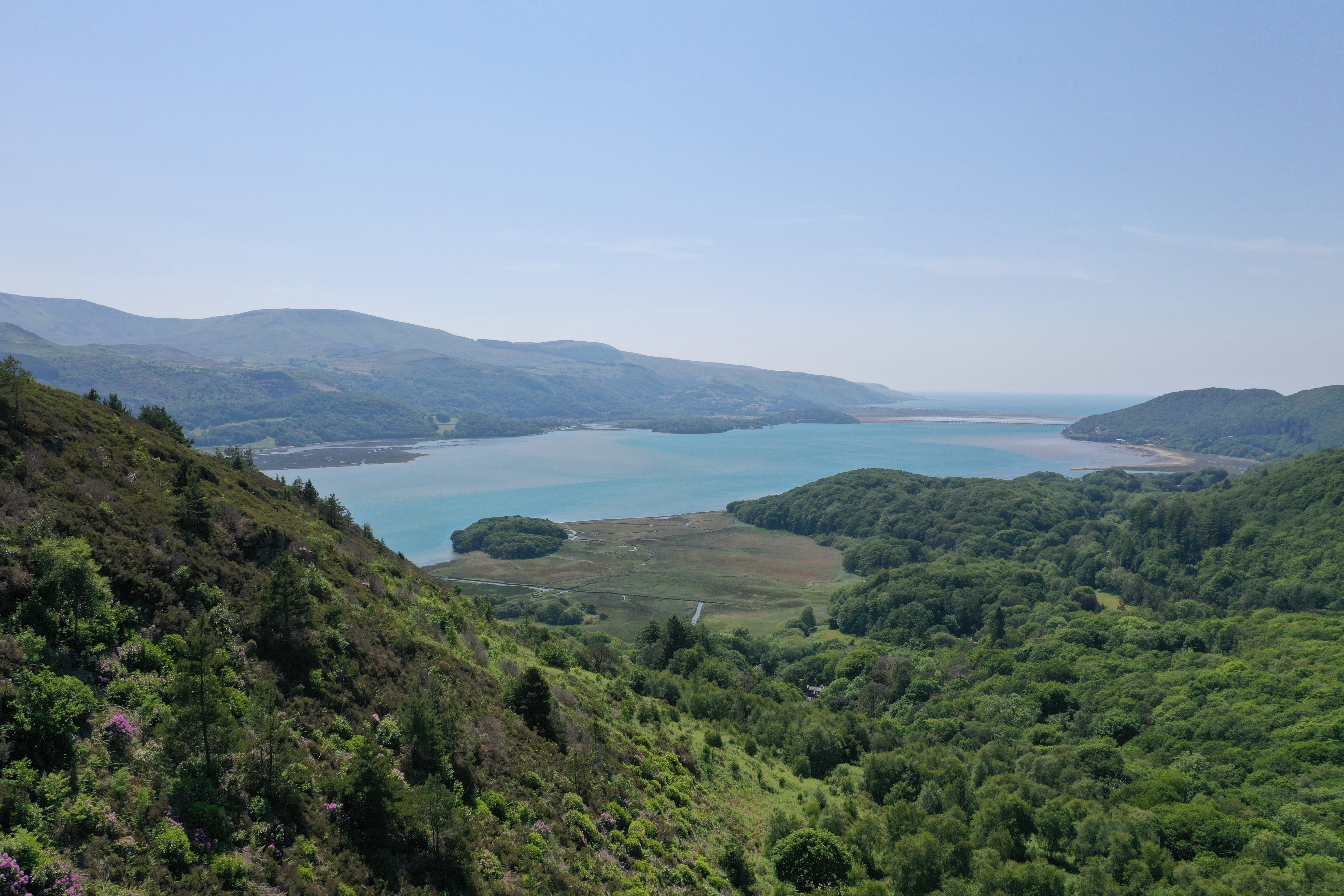
They are an excellent way of surveying over vast areas, ranging from blanket bogs and mountain pastures to riverside ravines. The drone use vastly reduces the time required to survey large areas and can also be used in areas that we cannot access on foot!
These surveys are usually conducted in June - when the Rhododendron ponticum is in flower, and the plant is distinguishable from the other vegetation because of its prolific purple flowers.
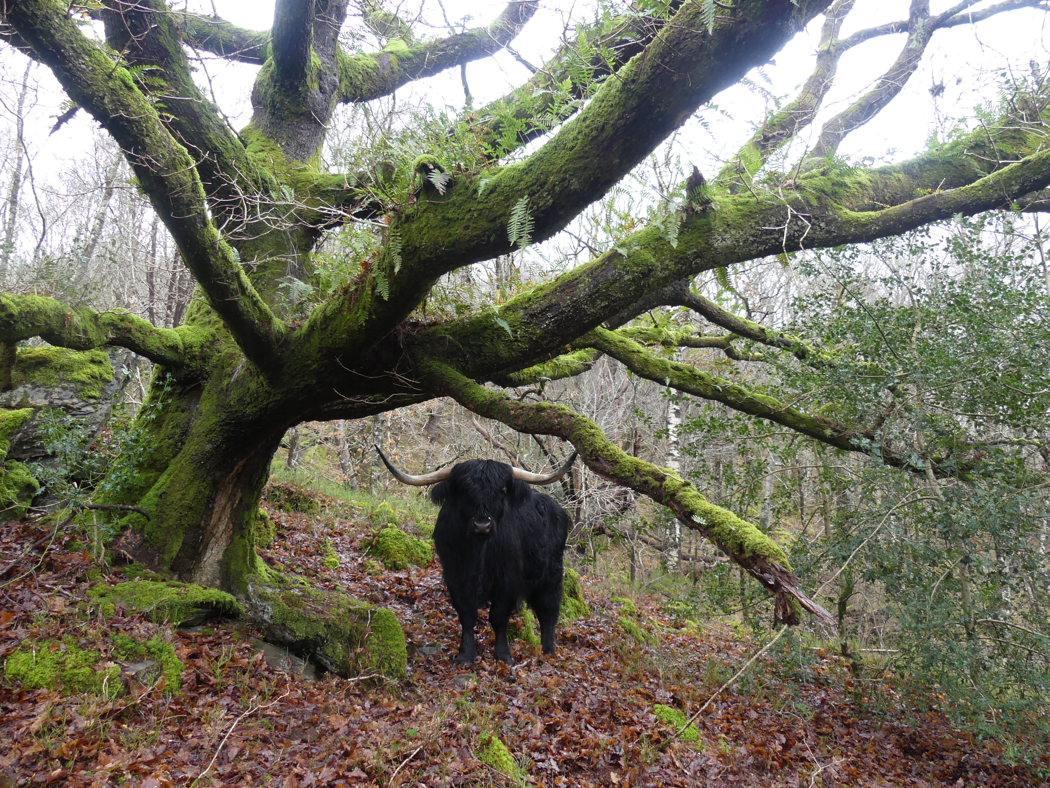
GPS Livestock Collars
Another tool we’ve used is Digitanimal collars on the Highland Cattle we have at RSPB Coed Garth Gell nature reserve in Bontddu. These collars use GPS technology and are programmed to send location info to your mobile phone. They are therefore highly useful when doing livestock checks, reducing the time spent searching for the animals on any given site – which is especially good on a large and varied site. Although as with any technology using GPS – there could be blackspots in certain areas, so you need to consider this when using this type of technology.
The collars can also send a warning message if an animal becomes inactive – and the farmer can perform a spot check to ascertain if the animal is injured or ill. More often than not any inactivity will be because of damage to the collar because of scratching! Unfortunately, we have had an instance when a warning message was received leading us to an animal who had suffered an accident by becoming trapped between a wall and a fallen tree.
The second type of GPS collar we use within the project are “NoFence” collars. We use these collars on Goats that we have grazing in the RSPB Gwenffrwd Dinas site in Llandovery. This technology uses GPS and an app on your phone to control where the goats can go on the ground – without having the need to install the infrastructure of fences on the site. It works by giving a series of progressively audible sounds as the animal nears to the "digital" boundary area, ultimately giving them a small electric pulse if they do cross the boundary. The animal soon learns to turn around on the audible warning in the future. The benefit of using this system (especially on the escape artists that are goats!!), is that you can change the grazing zones online, allowing intense or sporadic grazing of any give grazing area.
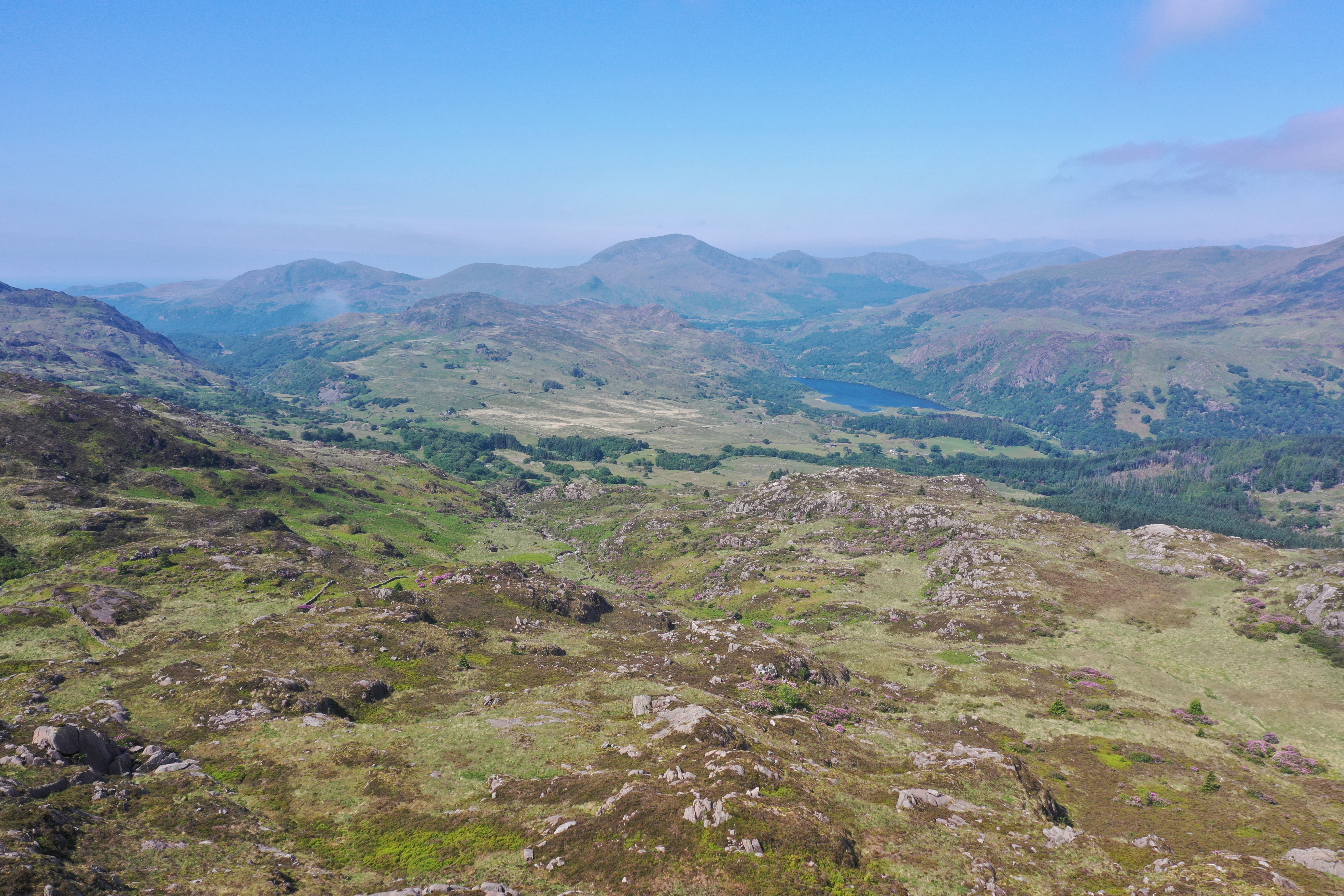
GPS Boundary Marking
One challenge we have recently faced when setting out a large contract in the Nant Gwynant area, was how to divide the parcel of land into manageable contract areas.
This was one of the last areas with high density of the invasive alien species Rhododendron ponticum in the valley, and it was therefore important for us to treat it.
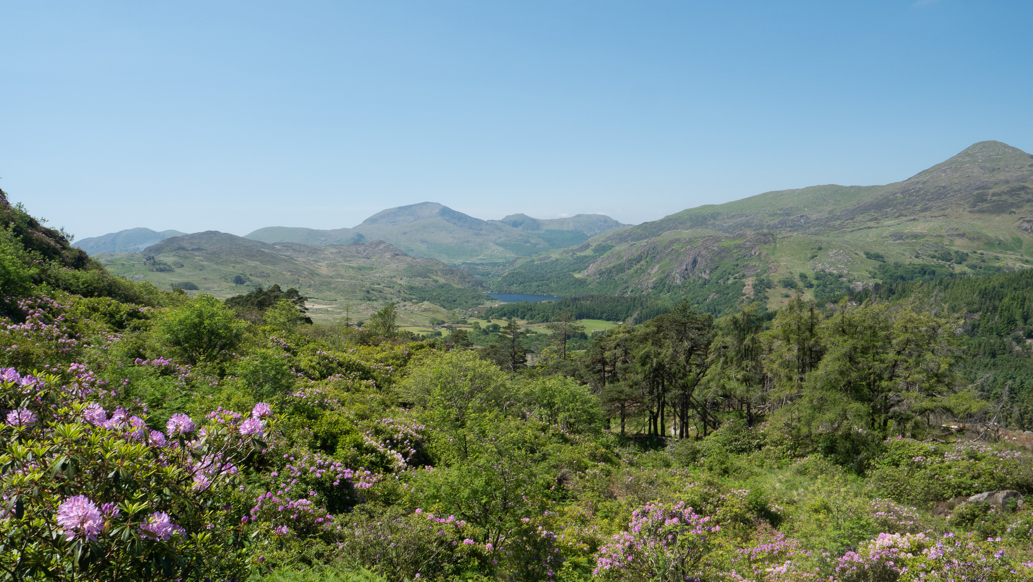
This is a large mountainous area, with a lack of boundaries such as walls and fences, and there are only some undulations on the ground to divide the site. After a lot of head scratching, we employed a system that combines the use of a GPS App with our in-house QGIS software program, to divide the land parcels digitally, so that contractors have a copy of their work area boundary while out on the land
As innovation continues to develop, there will be further advances in how we use technology in the battle to save the precious temperate rainforest habitats that are the Celtic Rainforests
#IntlForestDay #InternationalForestDay #dayofforests2024 #ForestDay
Footer
For further details, enquires and comments please contact the Project Officers at
Telephone: 01766 770274
Email: post@celticrainforests.wales
Address:
Snowdonia National Park Authority,
National Park Office, Penrhyndeudraeth, Gwynedd. LL48 6LF
© 2019 - 2026 Celtic Rainforests Wales. All Rights Reserved
Subscribe to our Newsletter